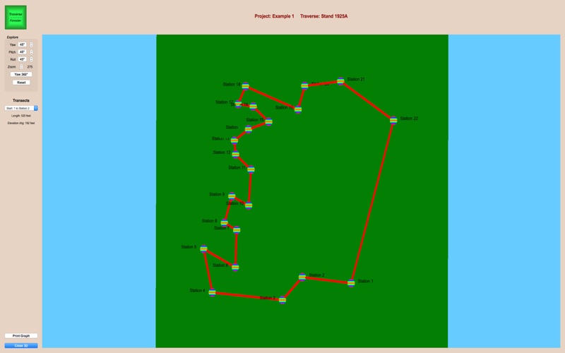
Traverse — Forester will measure the area of a closed traverse. Traverses are used extensively in forestry, agriculture, range management, commercial development, and almost any other field that needs to determine the area of a polygon.
Data can be entered by waypoints (latitude and longitude) or by x,y coordinates. For outdoor traverses, waypoints are preferable. This data can be easily gathered with a handheld GPS device. Data in the form of x.y coordinates are useful for indoor traverses.
Traverse - Forester allows you to organize your work into projects. It allows an unlimited number of projects, with an unlimited number of traverses within each project. Three example projects are provided to supplement the user manual. The solution to a traverse can be displayed in tabular or graphic form. Both 2D and 3D graphs are available.


